- Automatic Guided Vehicles
- Odometric system
Odometric system
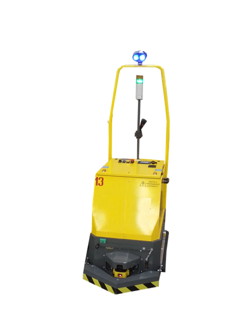
The odometric system is carried out using a reading laser that reads the references along its own path and allows the internal CPU of the AGV to calculate the measurement triangulation in vector form.
The encoder placed on the wheel traces the movement measurement.
The correlation and mathematical calculation allow to position the AGV in its space.
Technically advanced solution. The control point mapping is defined by the management software and excludes restrictions that allow the user to access the defined path.
The user software interface is created on the basis of an AGV client and AGV server system implementing the vector and angulation function.
The laser scanner works like an optical radar which, by means of a 360° two-dimensional scan, is able to locate the rifles in the work area and, after verification with the internal map, defines the exact position of the vehicle. The movement of 3 rifles is sufficient to determine the position of the vehicle. Normally a richiede system but at 40 points


